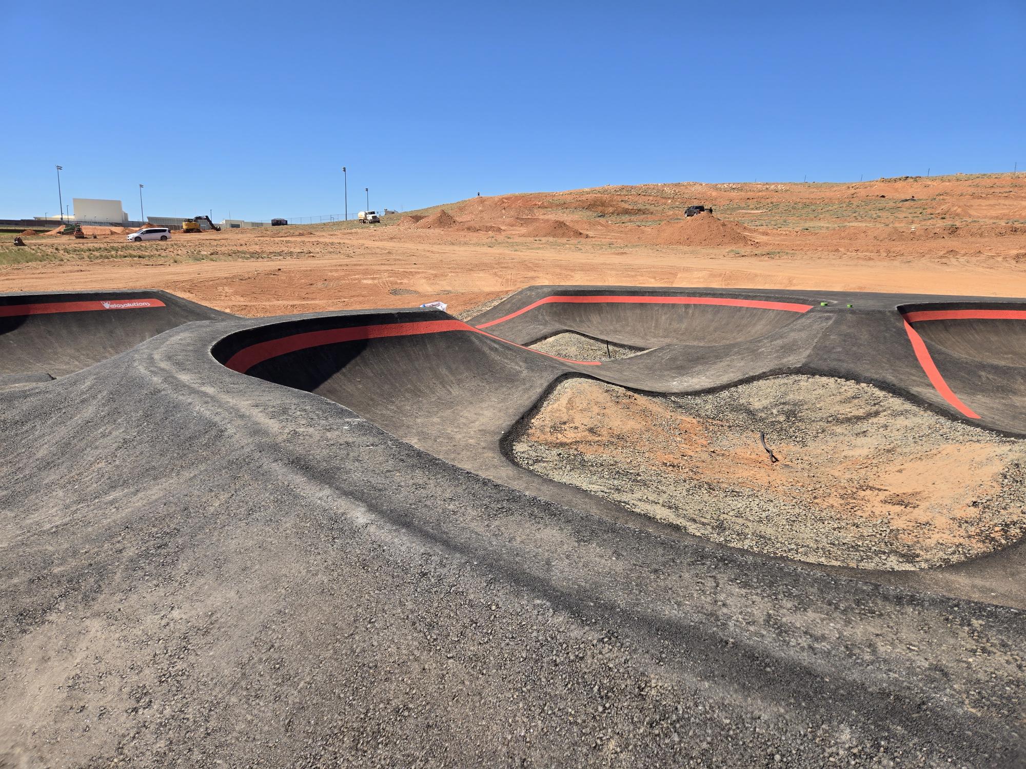
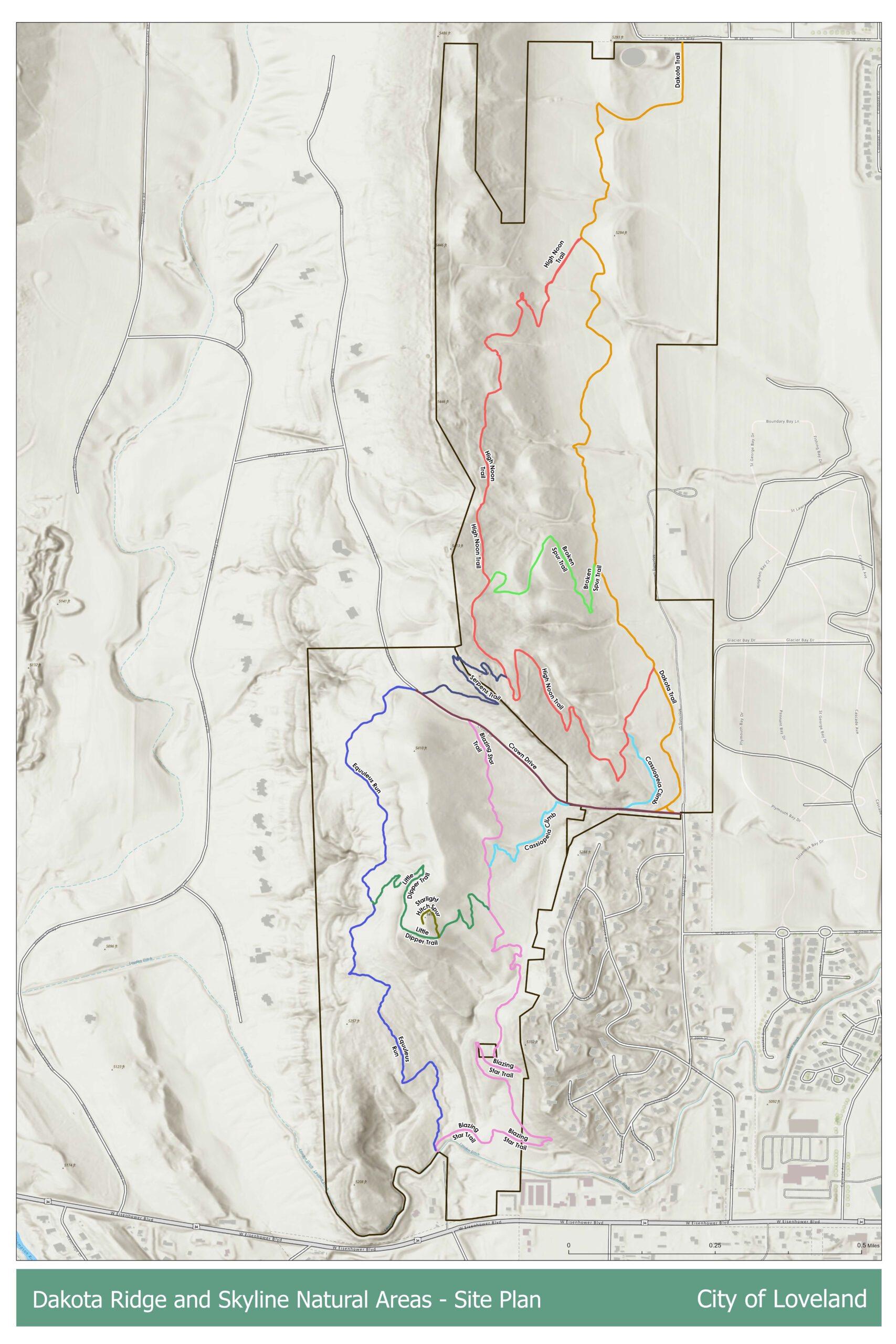
The City of Loveland is continuing work on the Skyline and Dakota Ridge trail system on the northwest side of town. The project will total 7.8 miles of trails and is being managed by Marilyn Hilgenberg, Open Lands and Trails Manager for the Parks & Recreation Department of Loveland.
“The majority of the trails will be multi use including use by mountain bikers,” Hilgenberg said. One short trail segment near the old hitching post and overlook will be designated for pedestrian use only.
Most of the system will be built as natural surface singletrack. Hilgenberg said the eastern trail on Dakota Ridge will differ from the rest of the network. “The majority of the trail system is single track natural surface. However the eastern trail on Dakota Ridge will be a wider aggregate trail to allow for all levels,” she said. This lower trail will also be the only location within the system where ebikes will be allowed.
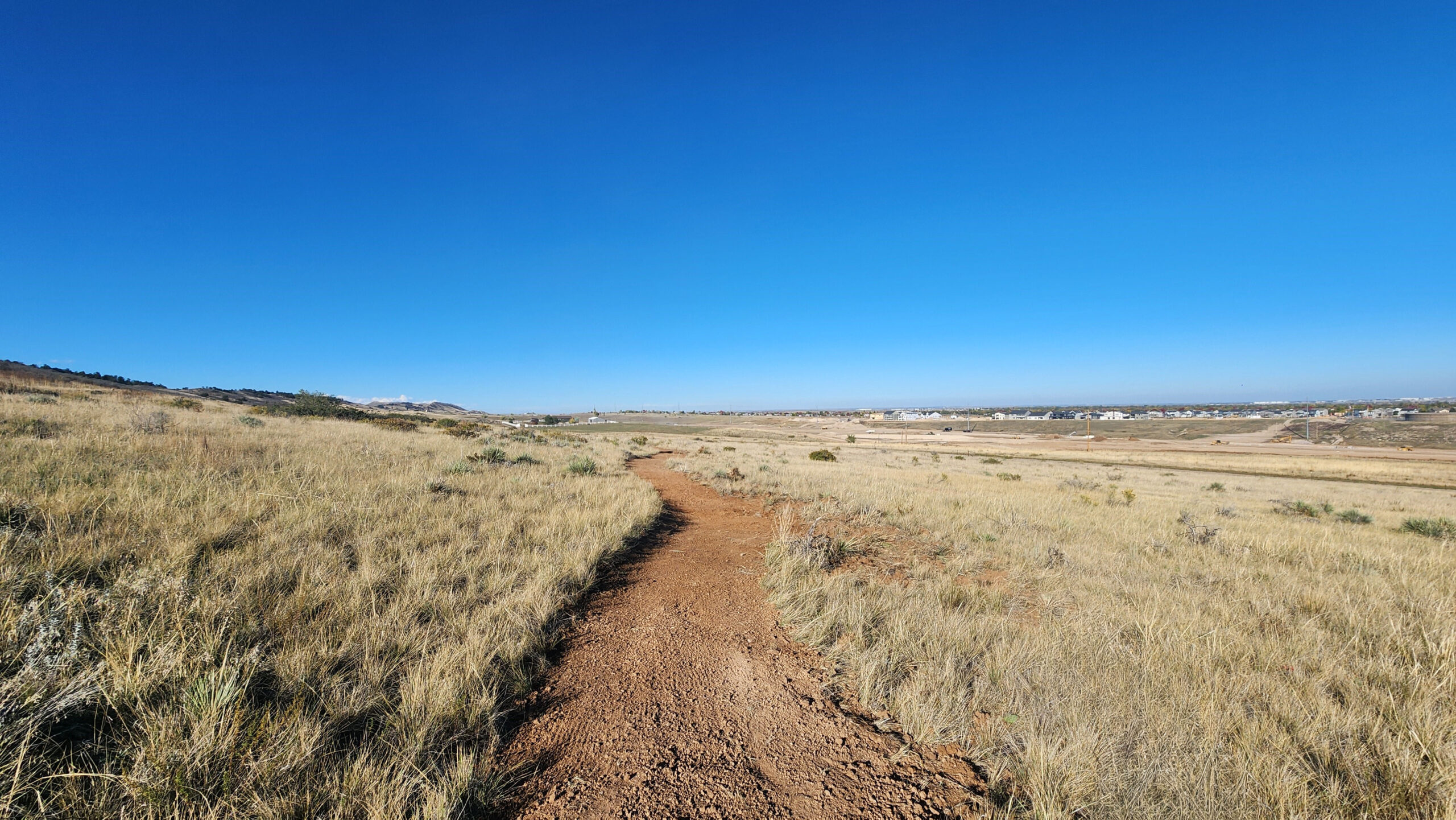
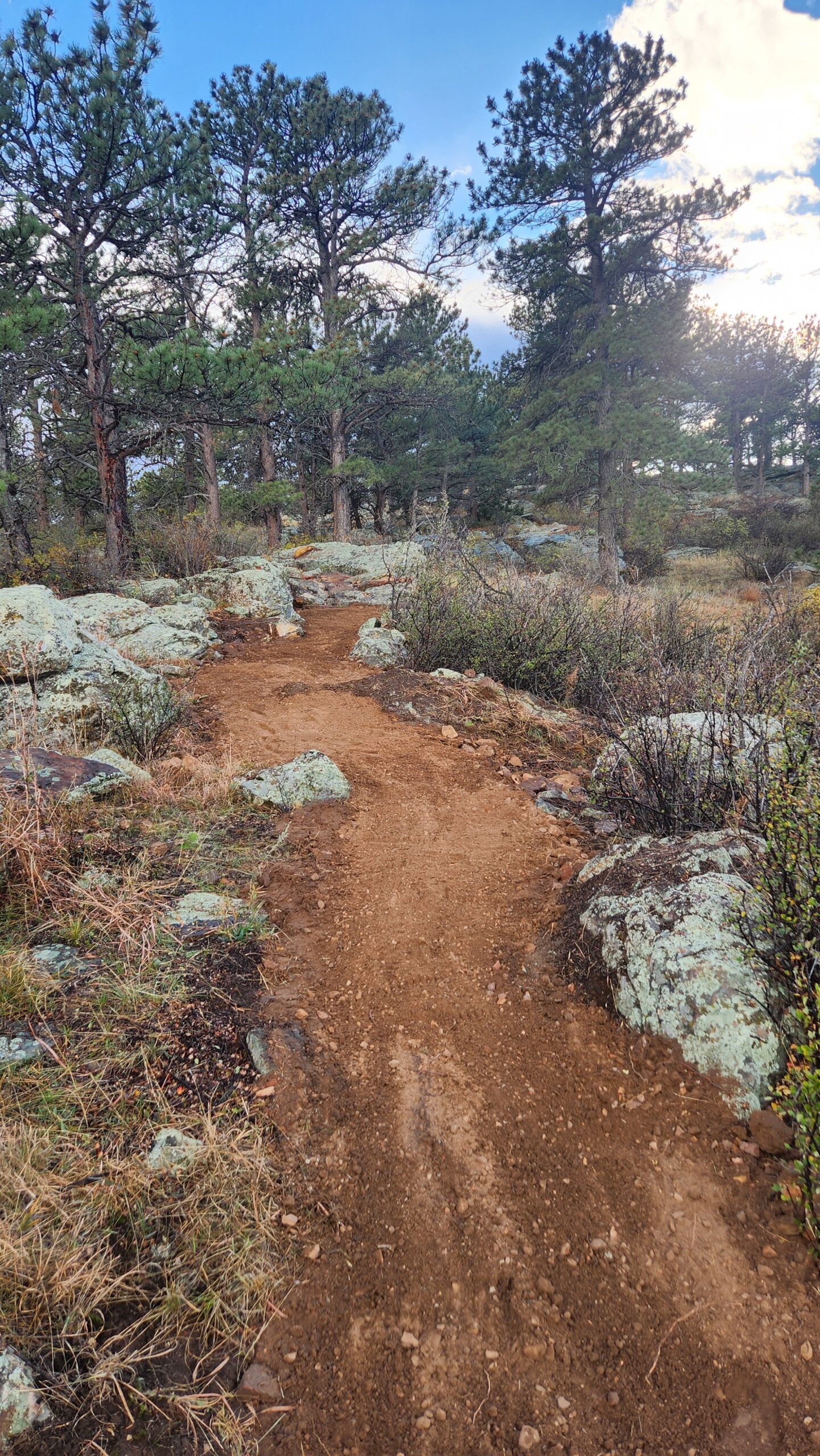
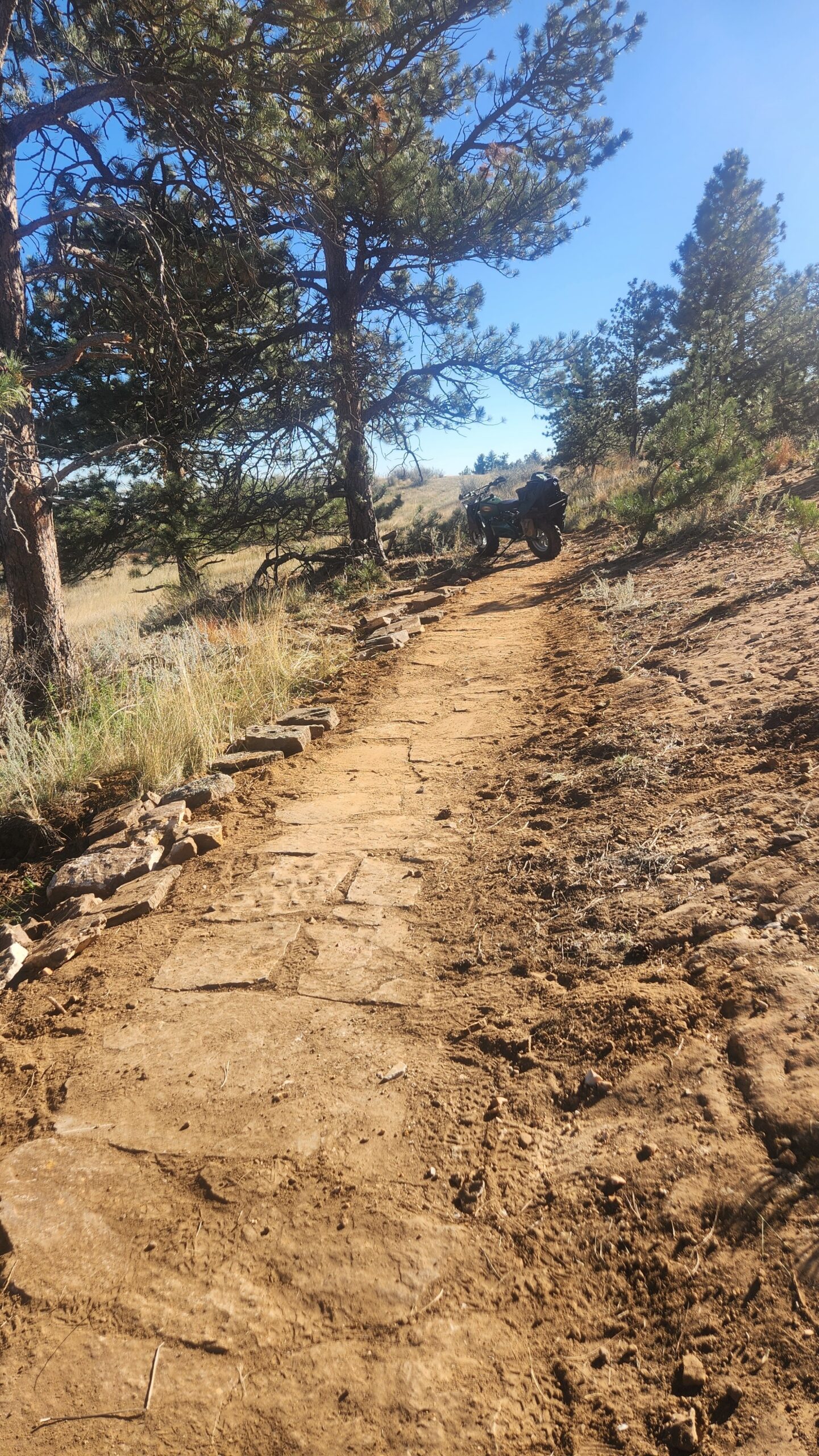
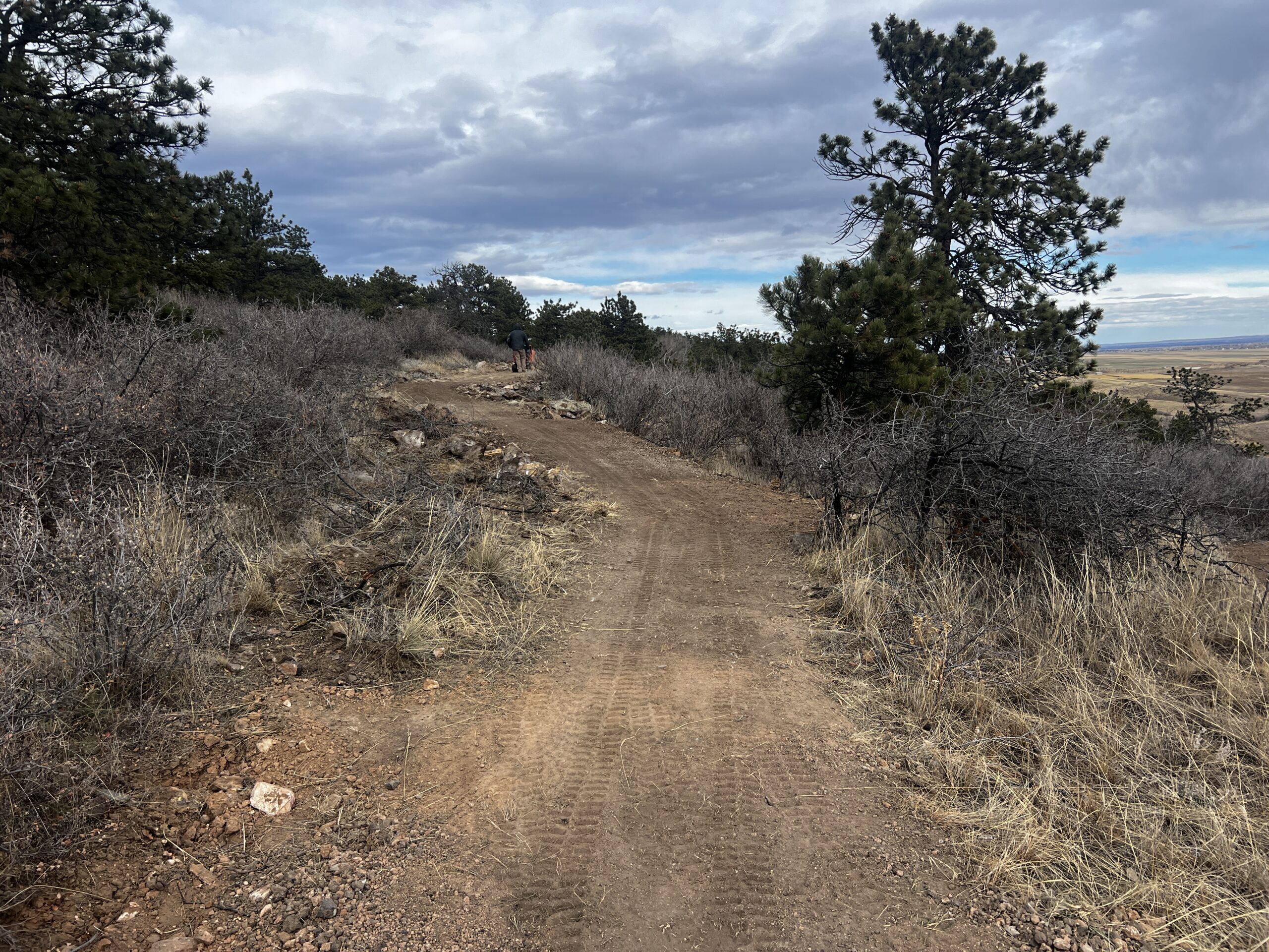
Construction details provided by Aaron Cholewa of Outdoor Recreation Designs show a mix of trail widths and surfaces across the system. The project includes approximately 1.7 miles of eight foot wide crusher fine surfaced trail, about one mile of four foot wide crusher fine surfaced trail, and roughly five miles of natural surface trail with tread widths ranging from 30 inches to 48 inches.
The Skyline and Dakota Ridge trails are planned to connect to the Prairie Ridge Natural Area. “The timing is mostly like in the three to five year timeframe but is dependent on the timing of residential developments from 43rd to 57th Street,” Hilgenberg said.
Once that connection is complete, riders will be able to link Prairie Ridge with Coyote Ridge Natural Area, Devil’s Backbone, and Rimrock Open Space. That network will create a loop of roughly 20 miles with approximately three quarters of a mile of pavement along Highway 34 and the road leading to Devil’s Backbone.
At this time, there is no planned trail connection directly into Devil’s Backbone. “There is not a connection planned at this time but there is a connection via Highway 34 for adventurous riders,” Hilgenberg said.
Indirect access to the Loveland Recreation Trails System will be available using existing city streets, sidewalks, and bike lanes in northwest Loveland.
The southern trailhead at Rossum and Highway 34 is currently under construction and will open with the completion of the connecting trails. A northern parking lot off 43rd Street is still in the design phase and is also expected to open with the trails. A future trailhead is also planned near the east edge of the site where 29th Street will end. No design or timeline has been finalized for that access point.
The trail system is expected to offer green and blue level riding. “This is a relatively small site and the trails have been designed to accommodate the greatest number of users,” Hilgenberg said.
Construction is ongoing and the trail system is anticipated to be complete by mid summer 2026.
Overland Mountain Bike Association‘s Kenny Bearden is excited to see this project moving ahead. “The need and demand for trails and mountain biking opportunities was clearly shown through public comments during this initial planning process in 2020. City staff making the decisions to address these needs is greatly appreciated, as it will provide much needed access for Loveland residents. Knowing the contractor and crew members bringing this project to life, we look forward to seeing what they’re able to create in this beautiful landscape. As our regional trail connections and riding experiences continue to grow, we’re excited for what the future holds.”
Interactive map, drone footage, timeline, etc, below or here.
If you enjoy this content and appreciate the hustle that goes into YGR please consider supporting the site.