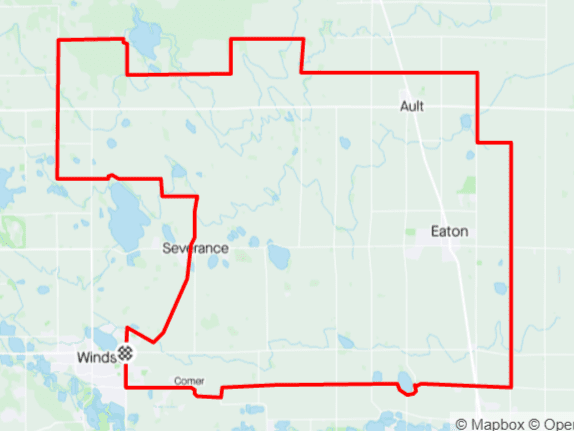
Distance: 17 mi.
Elevation Gain: 1000 ft.
Climb Rate: 590ft per 10 miles.
Percent of Gravel/Dirt: 86%.
Ride Time at 15mph: 55 min.
Strava Info and GPX

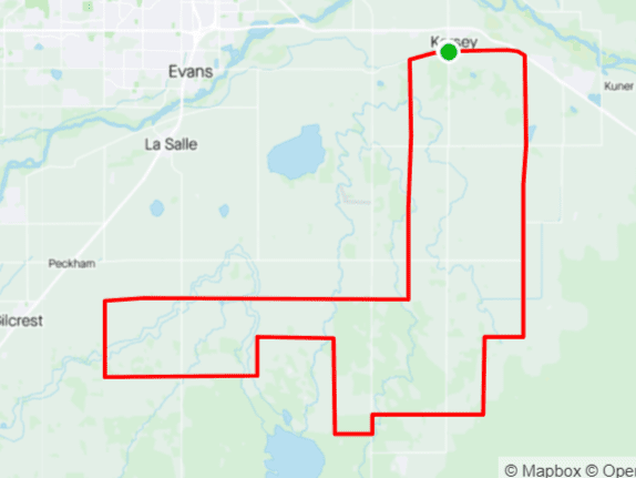
The hills on that stretch are sometimes steep and occasionally loose. Feel free to take a break or push the bike while enjoying the view. When on LCR 50, pay attention to the pole with the eagle nest right next to the road.This route is essentially an introduction to the gravel east of I-25, along the boundary between Larimer and Weld County. You can drive to the starting point and just park at the side of the road where the route starts, but you can also just park anywhere else — for example, at the intersection of Weld County Roads 13 and 88 (which also happens to be the intersection of Larimer County Roads 1 and 52). FoCo runners call the loop at the top of this course the “bacon strip” because it is rectangular and its edges undulate. But they usually do it the wrong way around: Ride it counter-clockwise because on the way south on the west side of the loop, you have fantastic views of town, the foothills, and the mountains from Longs Peak to Pikes Peak 120 miles south.

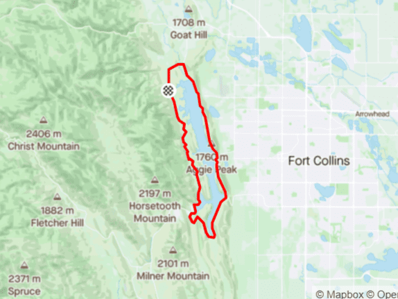
Route provided by Wolfgang Bangerth