Distance: 51 mi.
Elevation Gain: 1950 ft.
Climb Rate: 380ft per 10 miles.
Percent of Gravel/Dirt: 39%.
Ride Time at 15mph: 2 hr 50 min.
Strava Info and GPX

Route provided by Wolfgang Bangerth
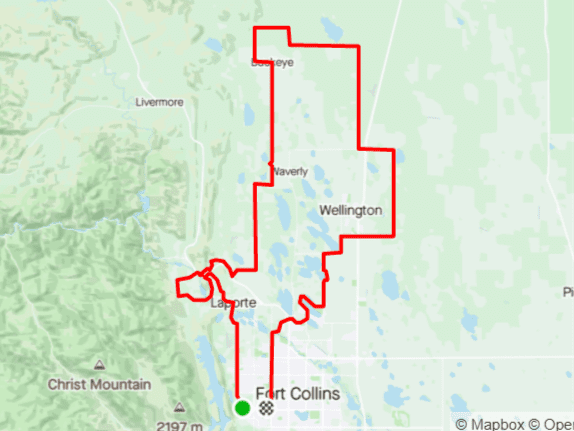
The couple of miles along highway 287 have lots and fast traffic, but there is a good shoulder. Turn left onto Owl Canyon Road to get back less traveled routes, but expect the occasional truck to come by as they take that route to or from the interstate without having to go through town.
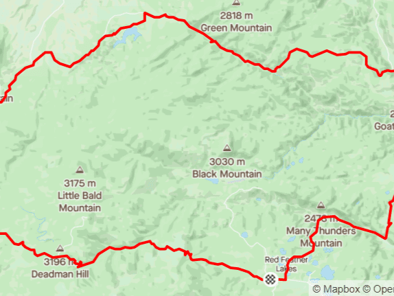
I don’t know whether Pain in the Ass Pass is an actual name, but I was introduced to this route by former pro rider Alex Hagman, and who am I to argue with him about the name. Regardless, do this route in the spring when everything is green and Red Mountain Open Space is, well, red. The contrast of these colors as you climb going west over the pass on LCR 80, with the Park Creek Reservoir below you, is fantastic. As you start heading back, stop at the store in Livermore and have a cinnamon roll — some people call this route the “Cinnamon Roller” for this reason. This is also the only place to get water. From Livermore, you’re on paved roads all the way home, and most of it is downhill, so you’ll be home relatively quickly.