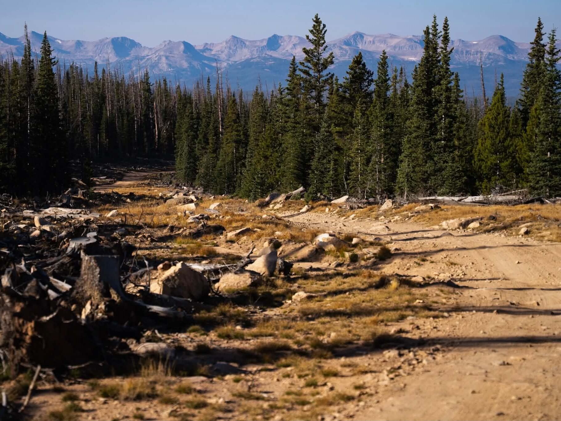
As you’ve heard by now, Larimer County Natural Resources is updating the Horsetooth Mountain Open Space Master Plan. Based on information gleaned in their phase one survey, they’ve launched a phase two survey. Some of the ideas being floated include but are not limited to; closing the main trailhead to nighttime use, making changes to “Way Better than the Road” trail, closing backcountry campsites (pictured above), and the realignments of several popular trails. The survey runs from October 8th until November 12th, 2021.
We recommend opening the survey in one window and the referenced interactive map in another window.
Horsetooth Mountain Open Space (HTMOS) was originally acquired by Larimer County in 1982. Since then, using Help Preserve Open Spaces sales tax dollars, the Department of Natural Resources has expanded the Open Space by purchasing adjacent properties, most recently in 2017.
Management of the Open Space is currently guided by the 2007 Horsetooth Mountain Open Space Management Plan. Considering the age of the plan, the recent expansion, a growing community of visitors, and the desire to enhance both visitor experience and wildlife habitat, Natural Resources is updating the management plan in 2021.
HTMOS is located west of Fort Collins, is comprised of 3,269 acres, and was purchased by Larimer County through a series of land acquisitions spanning 1982-2017. HTMOS is bounded by Lory State Park to the north, Horsetooth Reservoir to the east, and private lands/subdivision on portions of the west, east and south edges.
Within HTMOS, there are 29 miles of natural surface trails accessed by two primary trailheads, the main parking area along County Rd. 38E and the Soderberg trailhead.
HTMOS has an estimated 224,000 visitors annually.